The Bell Tower of Western, Middlesex College

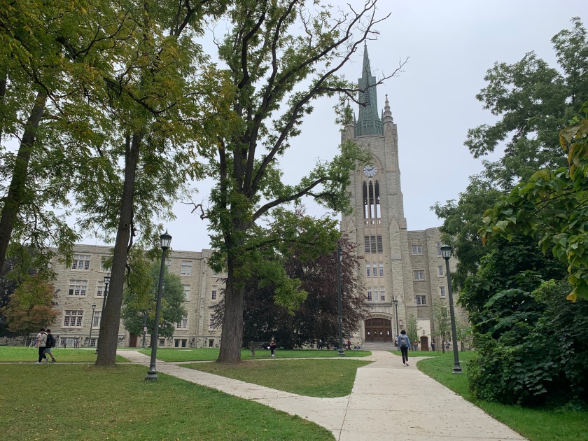
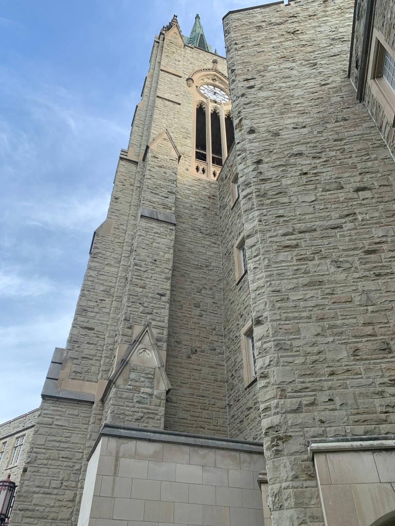
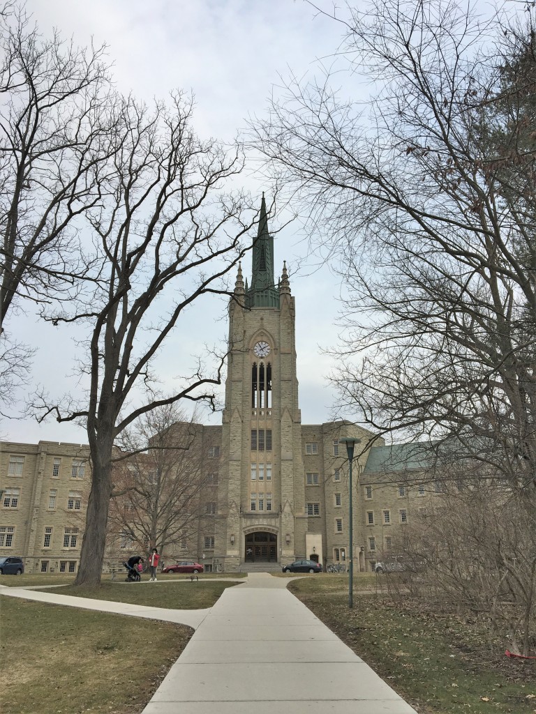
Home to the Mathematics and Computer Science departments, Middlesex College building is a dominating figure on campus. Situated at the bottom of the hill to where University College stands, its distinctive collegiate gothic architecture with clock and bell tower is the campus landmark.

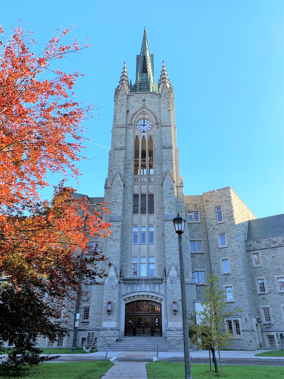
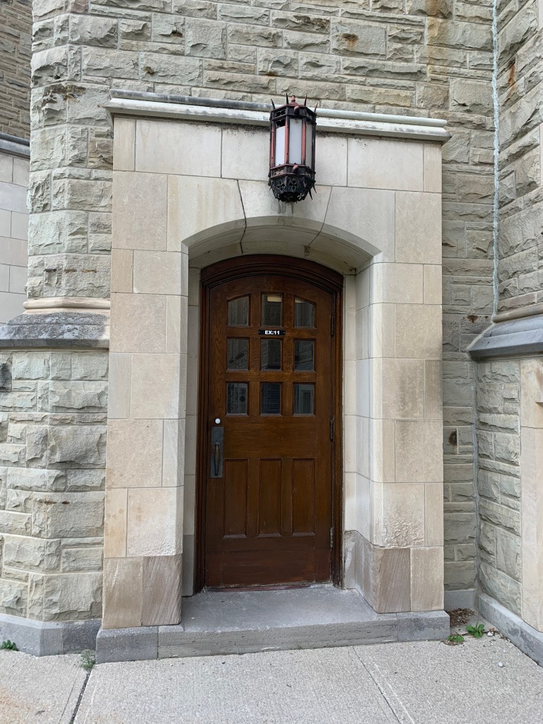
main door Middlesex College

The featured photograph conveys the imposing height of the building, but it does little to demonstrate its breadth. If you can imagine two wings, scaled to match the clock and inwardly reaching like long arms to embrace the campus, then you have a sense of Middlesex College.

Middlesex College opened in 1960 as a home for the Department of History. According to the building’s Wikipedia page, the tower houses five bells, each eight feet in diameter and weighing 400 lbs. However, the bells no longer ring, and were decommissioned in 2007 due to high refurbishment costs. They are “tuned to E, B, E, F and G#”.

September 17, 2021. Middlesex College. London, Ontario
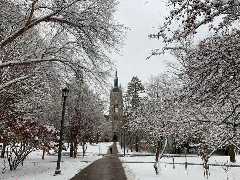
November 28, 2021. University of Western Ontario. London, Canada.

The photograph above shows the trees that have sheltered between Middlesex and University College. There is a mix of planted specimens and a stand of natural growth that can be found on the lower right, across the road that intersects the pathway.

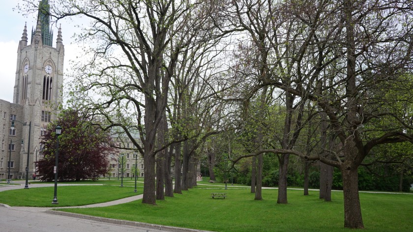
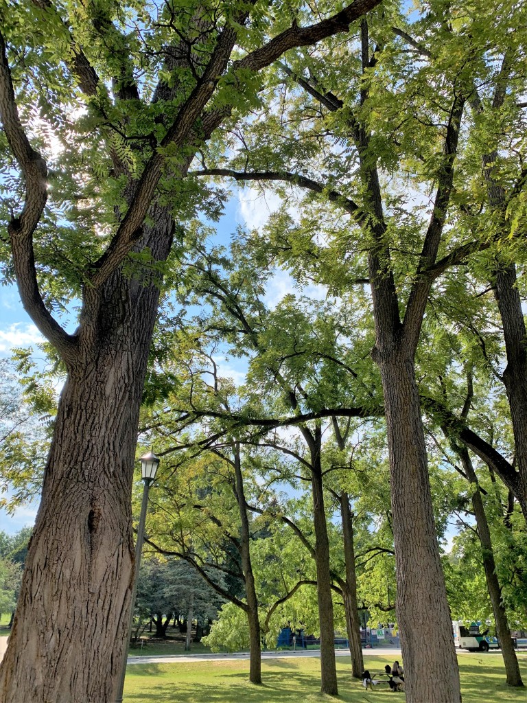
The front lawn of Middlesex houses a stand of black walnut trees. Previous to this space becoming a university, it was used as a farm, and these trees were planted here at that time. (The school’s founding date is March 7, 1878.) The story I learned was the row of walnut trees followed the road entering the farm and is all that remains of the farm itself, although there are trees on campus which predate farming in the region.

a row of black walnut trees, May 2022

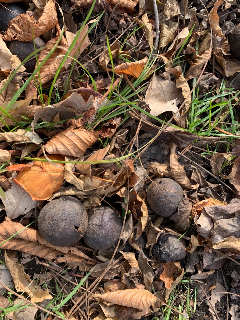
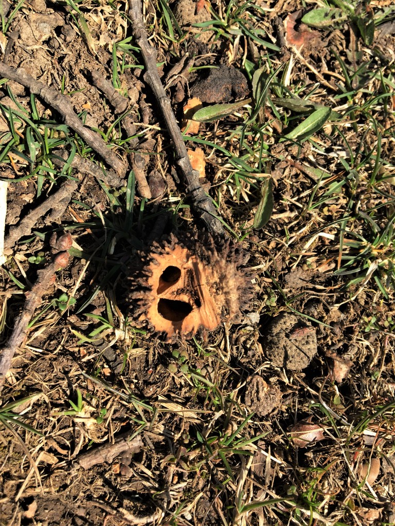
When walnut seeds fall from the trees, they are covered in a coarse green skin encapsulating a fibrous flesh. Inside is the walnut in its shell. As the seeds lie on the ground through the autumn, the flesh blackens and rots away. In early winter only the nut remains, and this is when the squirrels take advantage. The husk is not a nice thing to handle, as it stains black everything it comes in contact with and can be irritating to the skin.

While dropping from the tree, each seed is a heavy little ballistic that falls from some very tall trees. It is a bit risky to sit, or even walk, under them when the breeze picks up.

Power

I thought I had lost these digital files containing images of the power supply lines in southern Saskatchewan, Canada.  I had taken them from inside the truck as we traveled, and as promised, for one energy-enthusiast reader who had shown curiosity about our electrical grid.

Continue reading “Power”

Squared Space and the Elegance of Mathematics

This is not the Matrix.  Nor am I a mathematician.  The featured photo is of a map of a rural municipality, or district, in Saskatchewan.  The photograph below demonstrates the aesthetics of mathematical repetition and symmetry, here applied across a landscape.  Yet, in a blog about identity and space interacting, I have to ask, how does a predetermined cartography of prairie space impact people’s interaction with landscape and each other? 

Saskatchewan, surveyed into a grid system of equal parcels, takes on a patchwork-quilt appearance when seen from above.  At its simplest, the visual dynamics of landscape evokes a sense of egalitarianism, where boundaries form adjacent spaces of accepted difference.

photo source:  Town of Carrot River, SK webpage  http://www.town.carrotriver.sk.ca/carrot_river_aerial_views.htm
photo source: Town of Carrot River, SK webpage http://www.town.carrotriver.sk.ca/carrot_river_aerial_views.htm

The grid system is an elegant mathematical solution to real human problems of colonial homesteading in claimed spaces.  Like all good innovations, the Canadian survey borrowed from an existing system (used in mid-western United States), but improved it.

Canadians included road allowances within sections, and set aside reserved tracts of land for communities and to honour treaty agreements with indigenous First Nations people.

The land survey system was numbered differently from the American’s system, and correlates with a land title registry . The title system, unique to western Canada and Australia, does not operate with a deed, employing a governing agency to manage land ownership records, organized by land location, in a transparent and public information system.

This system was established to simplify land title transfer, and to protect citizens from land swindling.  When deeds are used to prove ownership of property, the responsibility of protecting and authenticating property documents rests with individuals.  As it happened in other colonial settlements where the system of land ownership was left unregulated, homesteaders purchased property in good faith, only to discover that their purchase brought them into conflict with people already making the same claim of ownership.

A government-managed land title system requires sales of property to be registered, where ownership can be verified and recorded.  All liens made on a property are registered to a title (i.e. mortgages are listed on titles), and must be discharged before title transfer is permitted.  In the case of public access allowances (like roads) or any building encroachments (a neighbour builds a garage over a property line or an oil company buries a pipeline in a field), such are recorded on the legal survey that is registered with the title.

Before the Canadian prairies were open to settlement, a land survey was first completed.  The Saskatchewan survey began in 1871, the province was divided into one-mile grid sections, each subdivided into quarter section parcels comprising 160 acres per quarter section.

Eligible settlers could homestead a quarter section.  To be permitted ‘entry’ to a homestead, settlers appeared at a government land titles office, filed for a homestead, and then had to meet conditions of land development to eventually own the homestead.

1909 land titles office Prince Albert
1909 land titles office Prince Albert, Saskatchewan
source: Sask Archives Board

Not everyone could file for a homestead, and in the first years of homesteading rules changed to increase inclusivity.  At first, only men aged 21 or older could enter a claim. Two years later, in 1874, the age was lowered to 18 years or younger if it could be proved he was the sole head of house hold. In 1897 homesteading laws changed to permit women–if they could prove they were the sole head of the household–to enter a homestead claim.

In 1908 other changes were introduced to the Homestead Act, and as a result, only British subjects (or those declaring intention to become a British subject) could enter a claim for homesteading.

Ownership of land was granted only after the homesteader met certain conditions of homesteading.  Just as eligibility conditions for entering a claim changed over time, so did requirements for achieving a homestead.

Initially, all eligible homesteaders need only cultivate and reside on the land for three years. In 1884, rules changed so that the “settler must build a habitable house and reside on the homestead,” and time frames were assigned for breaking and cropping acres. Location of residence also had requirements. Between 1872 and 1914 the rules for establishing a homestead changed several times, and in 1914 it was determined that quarter section homesteads had to be enclosed, along the whole perimeter, with a fence.

Homesteads were free to all who were eligible and could pay the $10 administration fee. A settler who met all conditions within the three-year period of gaining entry to a homestead “proved” his claim and ownership of title transferred to him. In 1874, provisions were made to allow homesteaders to purchase additional quarters of land within close proximity to their homesteaded quarter. The prices were set at a fixed rate.

The stringent rules for homesteading were initially established to keep the homesteading opportunity fair and available to everyone wishing to make western Canada their home.  Speculators, land-buyers who obtain large tracts of land and hold it to resell for profit in future, were discouraged by requiring development or improvements of property.  But as the provincial government made changes to the Homestead Act, it imposed restrictions on more than swindlers and speculators, limiting who could enter and prove a homestead claim.

sunriseThe prairie land and sky seems open and endless, even too vast to populate.  The government of Canada called upon people from all over the world, with their differences of language, custom, and appearance, to fill the territory.  As the spaces became inhabited, and the vastness diminished, so did the fairness and equality of the homesteading opportunity. 

An elegant and objective system, but vulnerable to human emotions and insecurities, the Canadian settlement process is still working out its issues.  We live with rhetoric of a multicultural nation, still struggling to put into practice every day, and to reconcile our past mistakes.  I can suggest that prairie space, its patchwork of landscape and people, remains a space of negotiation as we begin to understand the need to cultivate and support our differences.

Sod Houses and Prairie Strippers

From Saskatchewan Archives:  "The turning of the prairie sod was the first step in making the grasslands into the 'bread basket of the world'. Between 1870 and 1930 virtually all of the native grasslands would see the soil opened up and planted to wheat and other crops. This act of breaking the land symbolized the rapid change that occurred in Saskatchewan."
From Saskatchewan Archives: “The turning of the prairie sod was the first step in making the grasslands into the ‘bread basket of the world’. Between 1870 and 1930 virtually all of the native grasslands would see the soil opened up and planted to wheat and other crops. This act of breaking the land symbolized the rapid change that occurred in Saskatchewan.”

Early homestead dwellings on the Saskatchewan prairies were often utilitarian before they were comfortable or beautiful.  Using a waste product of cultivation, homesteaders broke native prairie by stripping sod from the surface soil and then built their homes of this matted tangle of dirt, grass, and roots.

Sod houses were innovative in that they used a free material that was close at hand (unlike lumber or bricks) and needed no special skills to convert into dwellings, unlike stone building which required masonry skills.  The houses were often simple and small, but their thick walls made a warm shelter in winter and kept the interior cool in hot summers.  The sod houses also blended with the environment, taken right from the earth itself.Eventually most settlers abandoned their sod homes and rebuilt with wood, brick or stone.  Being made of dirt, I had assumed that sod houses simply did not withstand the elements, and offered no more than temporary shelter for the first few years on a homestead.

Certainly, many sod houses were crude buildings with dirt floors and rough walls.  Depending upon the level of finish and the ingenuity of the builder, a sod house could offer long-term shelter and conventional comfort that looked like colonial adaptations of European building.

source:  Saskatchewan Archives Board.  Stripping the sod near Weyburn, Saskatchewan.
source: Saskatchewan Archives Board. Stripping the sod near Weyburn, Saskatchewan.

The James Addison sod house at Kindersley, Saskatchewan is an example of sophisticated sod building.  Built in 1909, Addison’s house was home to members of his family until 2006.  It exists today as a national and provincial historic site, being the oldest continuously occupied sod building in Saskatchewan.

As seen in the photographs, ‘breaking’ the land for planting crop nearly erased all native vegetation from the province.  In the first decades of land management on the North American prairies, human cultivation nearly destroyed the grasslands and the farms that evolved from it.

The ‘dirty thirties’  resulted, over-cultivation coinciding with drought.  With no grass on the prairie, and no moisture for crops to take hold, central North America was left in a series of dust storms that threatened the prairie topsoil.   In response to the crisis, prairie dwellers learned that the only way to survive on this land was to manage it with intelligence, respect, and care.

This slideshow requires JavaScript.

There’s no place like home:  little did they know, but these sod-strippers and homesteaders were paving the way to a gritty future.  The black and white film footage in The Wizard Oz replicates Kansas and its fierce dust storms, blowing Dorothy into Technicolor Oz.

All photos estimated to be circa early 1900s to 1905, 1906.  Source:  Saskatchewan Archives Board.

Old Haunts, Under Renovation

Before Weyburn was surveyed as a township by the Canadian Pacific Railway, this space was marked by only three things:  prairie, river, and a hill.  Of the three, only the prairie is immense, the other two landmarks are nearly swallowed by ground and sky.  I’ve come to notice that whenever I’m restless, or in the need of solitude with room to walk, I gravitate to these places.   This week I discovered that the river, the hill, and the prairie were not as I left them last fall.

Souris Valley by the River

Saskatchewan Drive, entering the Souris Valley grounds

The former grounds of the Saskatchewan Hospital, now called Souris Valley,  offer tree-filled lanes and walking paths along the Souris River. Here, I’ve watched turtles and fish in the water, and have been caught up in the wonderful smells of spring: flowering lilacs, honeysuckle, and apple trees. Last summer I encountered a hobbyist gold-miner who was using the city’s storm drain channel to sluice gold from his buckets of dirt. He showed me his earnings for the day, an ounce of gold dust and water inside a small glass vial. He passed the vial to me, so I could experience for myself its weight. For the amount of colour in the water, it was heavier than I expected.

Front gardens, late 1920s, Saskatchewan Hospital.  Photo source:  Soo Line Historical Museum
Front gardens, late 1920s, Saskatchewan Hospital. Photo source: Soo Line Historical Museum

For the past few weeks the old hospital grounds have been filled with tradesmen, their trucks, and heavy equipment. A Regina developer is building a housing subdivision on the land, and it isn’t easy to access. Also, a lot of the vegetation has been removed, diminishing the quiet solitude and privacy that the trees gave to the space. To provide shelter and windbreaks across the extensive grounds, patients of the mental hospital planted the equivalent of a small forest on the acres that surrounded the hospital. Over a couple of years in the early 1920s, several rail cars delivered shrub and tree whips to the grounds in spring. Now, the elm-lined Saskatchewan Drive almost makes a tunnel of the Souris Valley lane-way, even in bare-branched winter.

I never saw the hospital, except in pictures; it was demolished before we moved here. I don’t regret renovating the space. It needed renewal, but I feel a little lost, displaced from my adopted stomping grounds. I took a few pictures of the lane before the truck traffic resumed again after lunch.

Signal Hill

Snow pile on Signal Hill.

So far, I’ve written (numerous times) that Weyburn is built on flat prairie. I’ve mentioned it has a little river called the Souris. But have I brought up the incongruity of a hill? On the south edge of town, Signal Hill is the largest of a brief series of rounded hills formed of glacial till left-overs. In the twilight of my first encounter with Weyburn I had seen the lights of the Signal Hill houses lifting up into the sky, and I understood why I felt this place had promise. I’ve always been drawn to prairie hills.

The best place to stand and look down the hill has been temporarily designated to hold snow that has been cleared from Weyburn streets. I wondered a few things about this. Had there been a mound of snow here last year? How much garbage is in this pile? And when it melts, will the run-off finally bring an end to the road under it? This road has been washing away, more every year, exposing the rock and gravel in the hillside.

I considered climbing up the snow piles to get a better look, but they seemed unstable and I didn’t want to risk the camera. So, my view toward the sewage lagoon, garbage dump, and animal stock yard is blocked, but the view north was unimpeded through the grassy, open slope down to the river. I noticed that the hillside here is filled by a grid of surveyors’ lathe. The property was bought by a company from Calgary, Alberta a few years ago, with the intention of building walk-out houses that over-look the industrial businesses below.

Yesterday I had errands, a meeting, and no time to explore; however, these tasks took me past a new series of condo developments north of town. I saw a new sign on the nearby road announcing yet another new housing development for Weyburn. This one is a project of two local builders.

Open Prairie

Waiting dog between the fences.

Today I finished my pilgrimage to my sacred spaces of the city. The air was cold enough to require boots and heavy coat, but warm enough for a pigeon to bathe in the trickle of melt water dribbling out the drainage spout from the roof. Our old dog managed the long walk into the field behind the house and home again before her feet hurt with cold.

The black dog flushed a white hare from the planted tree rows near the creek bed before we entered the field. From the house I occasionally see the hare in the grasses, or sometimes he travels the paved walking path near the houses. He’ll soon be sharing his abode with some new businesses; we hear that the field has been zoned for industrial use and some of the lots are already sold.

Rabbit's view of the city.
Rabbit’s view of the city.

South, and across the highway, another developer has signs announcing its plans to build a new subdivision for Weyburn:  more houses, stores, and restaurants. Weyburn grows like a tree grows. Each ring of expansion is filled with a mix of commercial, industrial, and residential buildings. As the rings appear around the city, the various zones don’t always line up with what came before. So, a scrap metal yard sits against a row of residences, a new crescent is built behind a crematorium, and a highway bar opens beside a daycare and private homes. This pattern is the unique archeology of Weyburn’s growth.

Intersection of Place, Time, and Person

I watched the Opening Ceremonies of the Vancouver 2010 Olympic Games sitting on a hotel room bed in Yorkton, Saskatchewan. As I listened to Canadian actor Donald Sutherland read a passage from W.O. Mitchell’s novel, Who Has Seen the Wind, I was struck by the odd and unexpected connections people share in this world. I was nestled in hotel-bed pillows, snuggled by my husband and two daughters, both of whom were entranced by the hype of the Olympics.

We were travelling to Weyburn from where we were living at the time, on a farm in west-central Saskatchewan, near a town called Unity. The girls and I were anticipating our first glimpse of our future home. My husband had been insisting that the place was nothing special, just the regular old stock of buildings:  hotels and restaurants, a jumble of houses.

north of Weyburn
north of Weyburn

Despite his insistence that the landscape was flat boring nothingness interrupted by ordinary boring usual-ness, the Olympic vision of Weyburn prairie was a siren-call: Donald Sutherland crooned of the prairie that Mitchell had made famous in his writing, while the two-coloured image of cobalt-blue and deep yellow like turmeric portrayed sky and earth.

The February night that we spent in the Yorkton hotel the temperature dropped to be the coldest night of the 2009-2010 winter. Late the next afternoon we arrived in Weyburn, passing into the threshold of the city at the time of day when the sun, previously a burning glare, diminished into dusk.  The cold flatness of the light swallowed the horizon.

The approach to little city seemed endless, as though Weyburn drew away from us, receding into a hollowness of grey snow and sky.  It appeared the unlikeliest of shelters.

north of Weyburn, about a quarter mile away

I felt as if reality were shrinking away from me as well. If there is an intersection of Karma, or a knot of serendipity, then Weyburn is that place.  I was receiving my first warning:  W.O. Mitchell, Canadian writer, had come from Weyburn; T.C. Douglas, founder of Canada’s modern health care system, had been here.  And now, we were here.

Tommy Douglas’s former son-in-law is Donald Sutherland, who had read the passage of Mitchell’s writing at the opening ceremonies of the Olympics the day before.  All these little prickles of coincidence of time, place, and people, seemed to whisper something.

It was one of those moments, like when the dog catches a strange scent in the air and her hair rises, unbidden, straight off her back. I felt the same. A strange scent, an odd crossing of signs that really meant nothing in terms of real-world consequence, but still, it prickled the hair on the back of my neck.

If the embedded video doesn’t work, you can watch the video at YouTube.

Photographing January

From the news stories this month, many places in North America have received some fairly nasty (and unusual) winter weather.  In southern Saskatchewan we’re accustomed to blizzards and very cold temperatures, but even we’ve had more snow than usual.  (We are anticipating a very wet spring.)

This morning, with wind chill, the outside temperature felt like -48C (-54F).  The schools remain open in cold weather, but the school division shut down all bus services in the area.  If anyone has a choice, they are probably staying inside this morning.

My camera hasn’t left the house for most of this month, so I haven’t had a lot of photography to offer.  Here’s what I got for January (as always, click on an image in the galleries below to see it full-sized):

January 11th, a blizzard brought in about 6 inches of new snow, the wind created some fairly spectacular images.  This is what we saw when we woke up that morning, and how the day progressed.

Most of this month the light felt flat and harsh, the landscape had little variety, texture was difficult to create in the images.

These are from this morning, January 31st, 2013, in the low light of dawn.  All it took was a glimpse out (or at) the window and we knew we didn’t want to go outside.

Prairie Sky

Prairie sky is extreme.  Some days, cloud or fog blurs the landscape, sky and horizon blend.  Without modern asphalt highways and the interjection of a town, it would be easy to lose one’s way through the open and endless grasslands.  Turn around and around, and be lost in the same few acres of earth, untraceable in the open sky.

On other days, as empty and cloudless as it is, the sky feels heavy, as though the sun is sinking into us, pressing.  Everything burns:  the dirt, the trees, the air.  The imprint of brightness flares after, behind closed eyelids.

The days that delight are the ones in between.  The ones with variation and colour, unexpected possibilities of texture.  Surprises.

Click on an image below to view gallery in full-size images.